The Tenkile Conservation Alliance (TCA) is pioneering innovative monitoring techniques in the dense rainforests of the Torricelli Mountain Range. By pairing cutting-edge thermal drone technology with local ecological expertise, researchers and community rangers are opening a clearer window into canopy wildlife than ever before.
Proving the Technology: Early Success in the Canopy
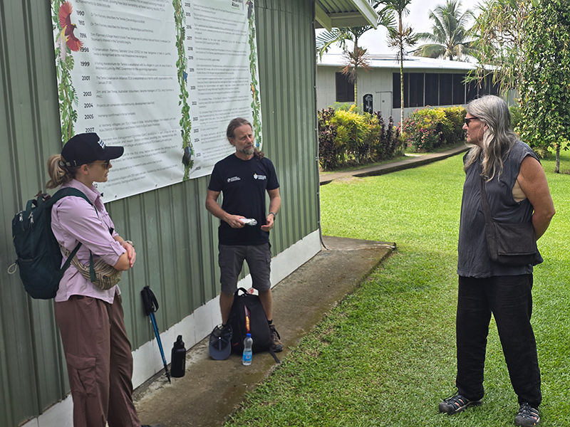
Searching for arboreal mammals from the forest floor in primary tropical rainforests has historically been notoriously difficult due to dense canopy cover. To address this challenge, drone pilot trainers Emmeline Norris and Johan Larson worked with the local TCA team to build thermal drone capability from the ground up.
During initial trials designed to test detection techniques, thermal imagery quickly proved its value by spotting a Common Spotted Cuscus resting high in the canopy. The successful trial demonstrated that thermal drone technology offers a viable, non-invasive method for detecting and mapping canopy-dwelling species that are nearly impossible to observe using traditional ground-based visual surveys.
Expanding the Mission: Targeting Rare Tree Kangaroos
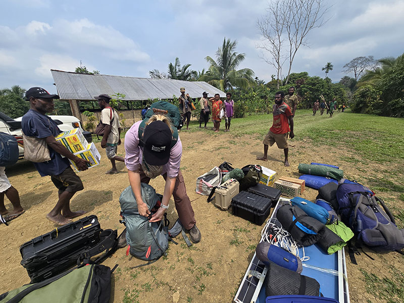
Building on these successful initial trials, Emmeline Norris—a conservation biologist from Australia—and the TCA team are taking thermal drone operations further into the field, heading out to Mount Sulen.
We can track whether the population is increasing or declining or stable over time
The primary focus of this phase is deploying thermal drones to locate, monitor, and estimate population sizes for critical canopy species:
- Tenkile (Dendrolagus scottae)
- Weimang / Golden-mantled Tree Kangaroo (Dendrolagus pulcherrimus)
- Yongi / Grizzled Tree Kangaroo (Dendrolagus inustus)
By systematically gathering accurate population data from the air, the team aims to establish reliable baselines to track whether these threatened populations are increasing, stable, or declining over time.
Community-Led Science
At its core, this program highlights the power of community-led conservation. The aerial thermal data does not replace local expertise; rather, local rangers combine their generational knowledge of species habitats with precision aerial thermal mapping. By pairing traditional ecological understanding with advanced aerial technology, TCA is developing a powerful, repeatable framework for long-term biodiversity monitoring.